Background
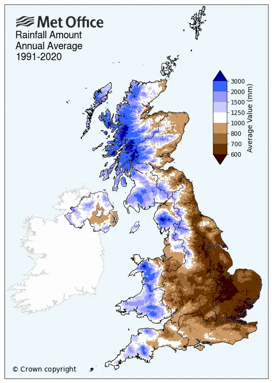
Norfolk is one of the driest counties in England, with long-term average annual rainfall between 660mm/year to 680mm/year, around 60% of that for the UK1.
Despite lacking rainfall, the County is home to many water-dependent Sites of Special Scientific Interest (SSSI) including some, such as the Broads European Sites, the River Wensum and the Norfolk Valley Fens, which are also Special Areas of Conservation, Special Protection Areas and RAMSAR sites. These are the highest designations possible in England for the protection and conservation of habitats and species and reflect the special value of these sites in terms of landscape and wildlife. We’re lucky to have them.
At the same time, farming in Norfolk produces huge amounts of the food we need to feed the nation including cereals, vegetables, sugar beet and soft fruit, as well as pigs, poultry and livestock. Data2 from the Norfolk Office of Data & Analytics shows that the Agri-Food Tech sector in Norfolk supports 42,000 jobs in over 5,000 businesses which, in total, generate nearly £1.5 billion gross value added (GVA) per year. The sector one of the three largest in the county, after construction and tourism, encompassing everything from primary agriculture to food manufacturing and distribution. For many of these businesses, access to water for irrigation or processing is critical.
Why the NSA programme is needed
The abstraction and use of water in England is controlled using licences which are issued by the Environment Agency. These arrangements were set up in the 1960s when sustainability issues were not well-understood and, in many areas, too many licences were issued. While measures were introduced in the 1990s to time-limit new licences so that these can be changed, if necessary, the legacy of these past policies can be seen in the many over-licenced, over-abstracted catchments in England which are now vulnerable to climate change and drought.
In response, the Environment Agency is planning a major new programme to restore abstraction to sustainable levels.
In Norfolk, abstractors have already seen licence reductions at Catfield Fen and in other areas close to the Ant Broads and Marshes. In future there will be more reductions as the Environment Agency implement their “Broads Plan” and these will be followed by reductions linked to a national programme of Catchment Permit Reviews. Most areas in Norfolk are vulnerable to licence change at some point over the next decade:

© copyright Ordnance Survey 2023, OS OpenMap Local – OS Open Data. Open Government License. Contains OS data © Crown copyright and database right 2023
Key:
Green areas – SSSIs
Hatched areas – waterbodies potentially vulnerable to licence change from the Environment Agency Broads Plan
Red & pink areas: Licence reductions (%) estimated to be needed under current conditions to achieve sustainable abstraction (from the National Framework for Water Resources 2025, Environment Agency)
What is the Norfolk Sustainable Abstraction programme for?
To respond to the Environment Agency processes for reducing abstraction, our members need access to the programmes, models and tools the Environment Agency use when making decisions about which licences to change. While this is prohibitively expensive for individual businesses, it becomes affordable when abstractors collaborate and work together. This is what the Norfolk Sustainable Abstraction programme is for; sharing the costs of doing the technical work needed to manage abstraction licences.
What kind of work is being done?
To date, four kinds of projects have been funded using the Norfolk Sustainable Abstraction programme: